Polska
Poland
Rzeczpospolita Polska
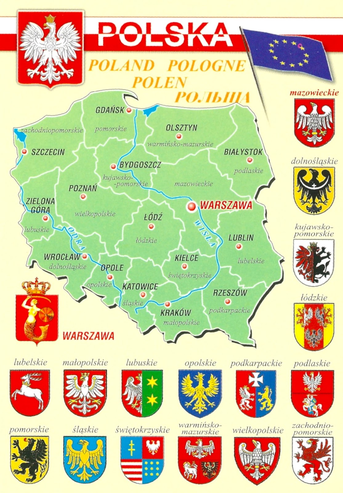
Mapa Polski z terytorialnym podzialem na 16 wojewodztw od 1999 roku.
Herby wojewodztw.
translation:
The Republic of Poland
Polish map of the territorial division into 16 provinces since 1999.
Herby provinces
2010
- - - - - - -
Poland, officially the Republic of Poland, is a country in Central Europe.
The total area of Poland is 312,679 square kilometres (120,726 sq mi), making it the 69th largest country in the world and the 9th largest in Europe. It has a population of over 38 million people.
The administrative division of Poland since 1999 has been based on three levels of subdivision. The territory of Poland is divided into voivodeships (provinces); these are further divided into powiats (counties), and these in turn are divided into gminas (communes or municipalities).
Poland currently has 16 provinces, 379 counties, and 2,478 municipalities.
The current system was introduced pursuant to a series of acts passed by the Polish parliament in 1998, and came into effect on 1 January 1999. Previously (in the period from 1975 to 1998) there had been 49 smaller provinces, and no counties.
No comments:
Post a Comment